Posts

Showing posts with the label Navigation assuming the Earth is a sphere does not work

39. An Almanac published in the 1870's stated a distance between Sydney and Nelson that disagrees with current maps

Image
“Practical distance measurements taken from “The Australian Handbook, Almanac, Shippers’ and Importers’ Directory” state that the straight line distance between Sydney and Nelson is 1550 statute miles. Their given difference in longitude is 22 degrees 2’14”. Therefore if 22 degrees 2’14” out of 360 is 1550 miles, the entirety would measure 25,182 miles. This is not only larger than the ball-Earth is said to be at the equator, but a whole 4262 miles greater than it would be at Sydney’s southern latitude on a globe of said proportions.” Incorrect historical information and Dubay does not know how to do trigonometry. Once again Eric Dubay resorts to historical sources, in this case The Australian Handbook, Almanac, Shippers’ and Importers’ Directory” which was published between 1872-1879. The distance it is reported as quoting between Sydney and Nelson is 1550 miles which is incorrect. The Almanac might not have been quoting the mileage as the crow flies, or maybe they just got the ...
37. Lieutenant Charles Wilkes (1798-1877) had difficulty navigating accurately in Antarctica

Image
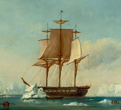
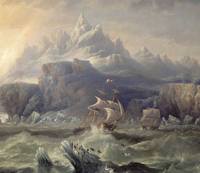
“Lieutenant Charles Wilkes commanded a United States Navy exploration expedition to the Antarctic from 1838 to 1842, and in his journals also mentioned being consistently east of his reckoning, sometimes over 20 miles in less than 18 hours.” Same as proof 36 Source:  https://en.wikipedia.org/wiki/Charles_Wilkes Different explorer.  Same era.  Same irrelevant observation.  Same non proof. < Prev  31-40 Next >

36. Captain James Clark Ross (1800-1862) had difficulty navigating accurately in Antarctica

Image
“During Captain James Clark Ross’s voyages around the Antarctic circumference, he often wrote in his journal perplexed at how they routinely found themselves out of accordance with their charts, stating that they found themselves an average of 12-16 miles outside their reckoning every day, later on further south as much as 29 miles.” Another irrelevant historical observation Source:  https://en.wikipedia.org/wiki/James_Clark_Ross What does Eric Dubay think that this quote shows?  That sailors were unable to get an accurate latitude and longitude in the southern hemisphere?  Of course they were, or how else would they know at the end of the day that they were 12-16 miles outside their reckoning? So it seems that during the day in 1840 a sailing ship captain had difficulty keeping track of their exact location.  Hardly surprising considering that they were on sailing ships without GPS, subjected to uncharted sea currents and wind patterns and could not measur...

35. Lines of latitude do not converge the further south they are and captains travelling in the southern hemisphere go off course if they assume the Earth is a sphere

Image
“If the Earth were truly a globe, then every line of latitude south of the equator would have to measure a gradually smaller and smaller circumference the farther South travelled. If, however, the Earth is an extended plane, then every line of latitude south of the equator should measure a gradually larger and larger circumference the farther South travelled. The fact that many captains navigating south of the equator assuming the globular theory have found themselves drastically out of reckoning, more so the farther South travelled, testifies to the fact that the Earth is not a ball.” Dubay makes another outright lie. This is an example of Dubay "getting in first" by denying easily proved facts which debunk flat Earth. The flat Earth map with its huge distances between southern most points on the Earth that can be easily proven false.  E.g. South America to South Africa to Australia. The following colour coded map shows container traffic over the course of a year.  T...

34. Dubay claims that ship captains never use spherical trigonometry

Image
“Ship captains in navigating great distances at sea never need to factor the supposed curvature of the Earth into their calculations. Both Plane Sailing and Great Circle Sailing, the most popular navigation methods, use plane, not spherical trigonometry, making all mathematical calculations on the assumption that the Earth is perfectly flat. If the Earth were in fact a sphere, such an errant assumption would lead to constant glaring inaccuracies. Plane Sailing has worked perfectly fine in both theory and practice for thousands of years, however, and plane trigonometry has time and again proven more accurate than spherical trigonometry in determining distances across the oceans.” Dubay is just blatantly lying.  He is completely shameless. Lie 1. “Both Plane Sailing and Great Circle Sailing,…. [make] all mathematical calculations on the assumption that the Earth is perfectly flat”.   How can Great circle sailing not take the curvature of the earth into account whe...